HI Dizzy
I have now rebuilt the app you can download it from here -
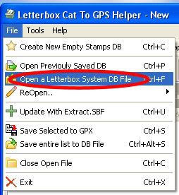
http://www.gpsletterboxing.talktalk.net/Download.htm A couple of other things probably worth mentioning is if you click on the column heading you have an option to filter the columns so clicking the grid east / Grid north columns will allow you to filter by grid ref

then by clicking the select button

will allow to export / send to GPS or view in the map tab.

I have also now changed the flag colours these are now
Red Flag 10 digit Ref 1M Accuracy
Blue Flag 8 digit Ref 10M Accuray
Green Flag 6 Digit Ref 100M Accuray
Yellow Flag No Valid Grid Reg
The Red , Blue, Green are push pins when viewed in the map viewer, Obviously no Yellow as there would be little or no grid ref for this colour
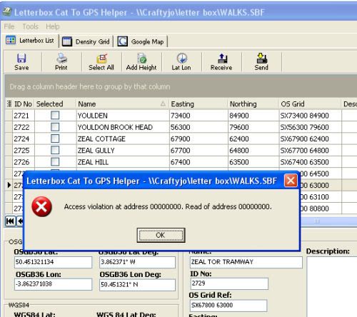
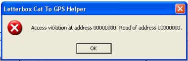
There are a couple of minor issues / things to note I am still working on
these -
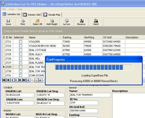
File import
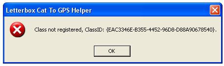
when a file is imported I currently have to strip out the following symbols " ' & ø ° ½ I have replaced the & with 'and' and the degree ones with 'Deg' however the ' and " are a bit harder to sort out sop for now I have had to remove them so 4' 6" will come out as 4 6 its to do with the GPX file format and the HTML used in the map view not being overly compatable with these symbols, it can be fixed but I have not had time.
Data entry
There is a minor issue that when selecting clues manually using the selected col with the last clue in the column you need to select the save (green tick) or it will not save the clue as selected.
Promping to Save
When either switching beteen differnet datasets or closing the app, if any changes have been made to the open database it should prompt you to save, but doesn't.
I have a Garmin Venture HC which is colour so when I send the data to my GPS the red / Blue flags appear on screen as they should. I am not sure how this will work on a monochrome GPS, weather the flags appear as just black flags or even if a monchrome GPS supports fags at all, if not I suspect they will appear as either dots or the standard garmin waypoint symbol? I cannot test this. What I can probably do if this is an issue is to change the symbols so for a 10 fig ref I can put one symbol an 8 fig ref another one and a 6 fig ref another one again. Other things to note is the amount of waypoints a GPS will hold, mine holds 500, some hold more some less. Also depending on what type of GPS you have depends on weather the name / description is trucated or not. I tend to also print the clues out as well as send them to my GPS.
Anyway I am sure there are other undocumented features (as Micorsoft would say) that need fixing / adding / changing. If you find any let me know
Hope it still works!!!
Colin
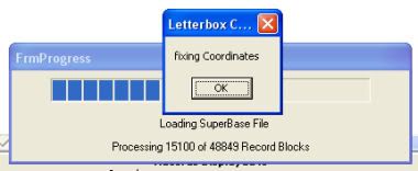
 If you subscribe to the Letterboxing Catalogue (Written by Mike Holiday) and use a GPS along with a compass!!! Basically the program extracts all the clues with valid grid refs from the Letterboxing Cats DB and converts the cords from OS Grid to WGS84 (GPS) format you can then filter by grid squares and various other things, if you have a Garmin GPS you can then send the Cords and Clues directly to it, or you can create a GPX file instead if you wish to import to your GPS via another application.